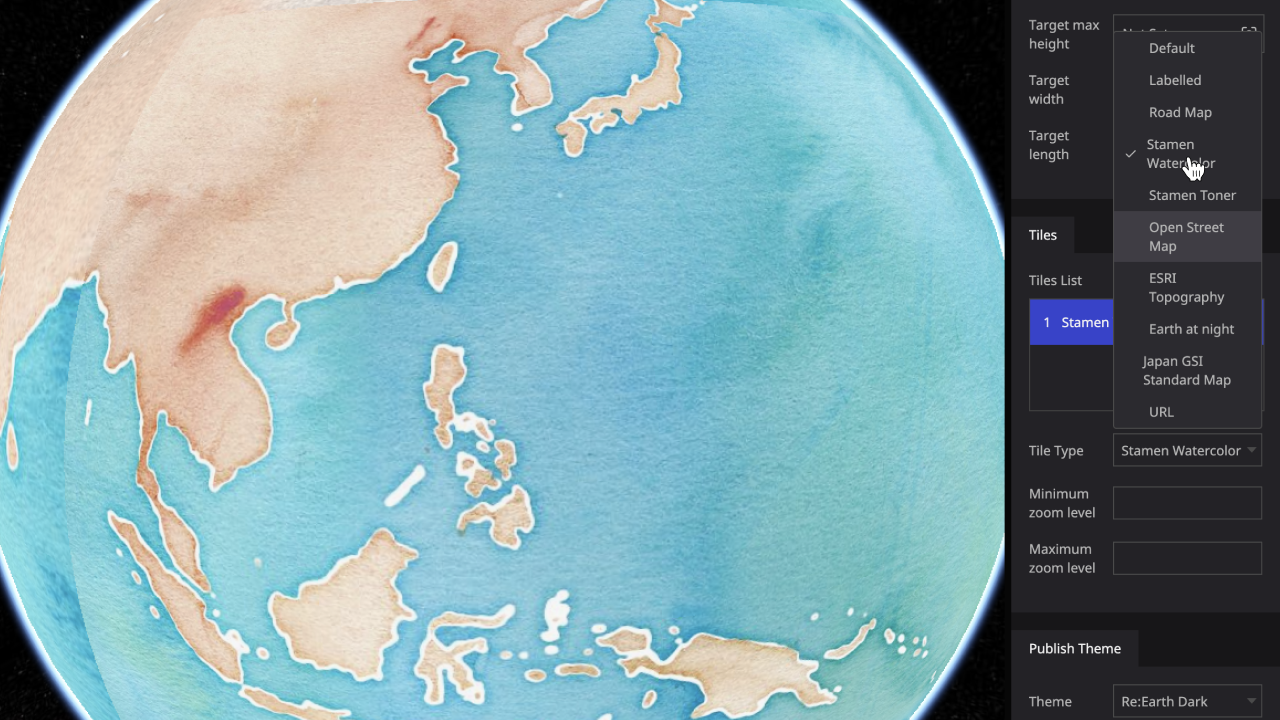
Customize your digital earth with the tile system.
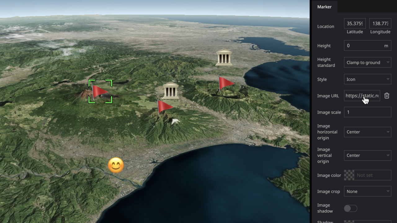
Place markers in your maps, and customize marker style with rich properties.
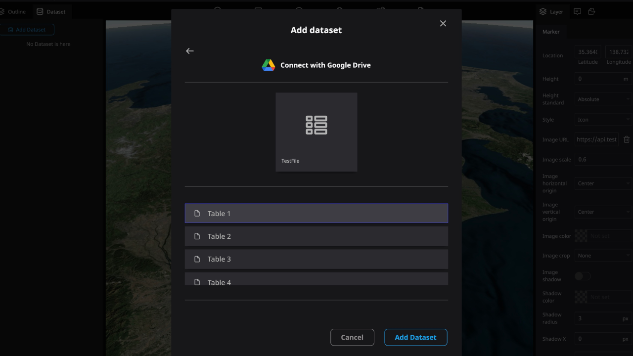
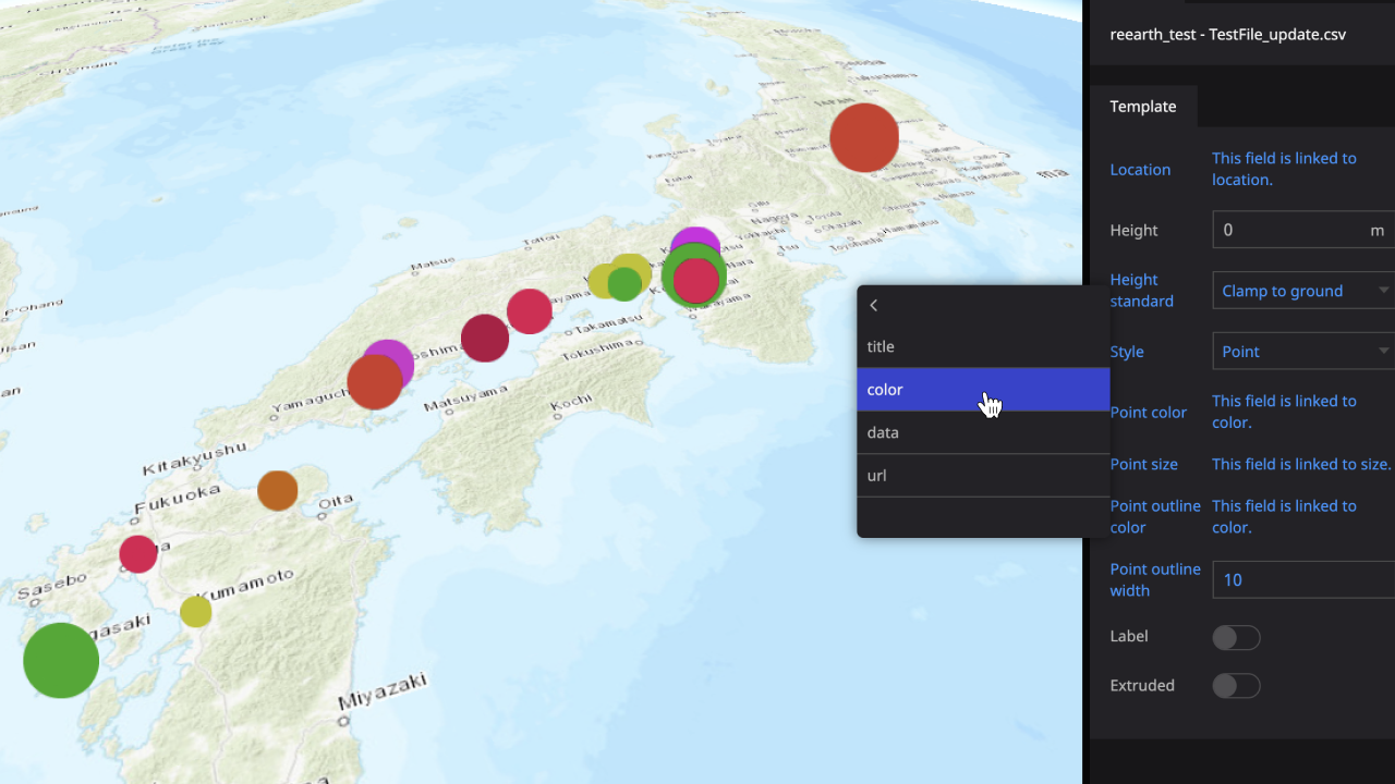
Supports CSV format, Google Forms data, and so on. Conveniently import your data into Re:Earth.
Through the Dataset system, you can connect data to layers to easily visualize your data.

( Comming soon )
Manage and filter your data with the tag system.